Airborne LiDAR
Cutting-edge mapping technology
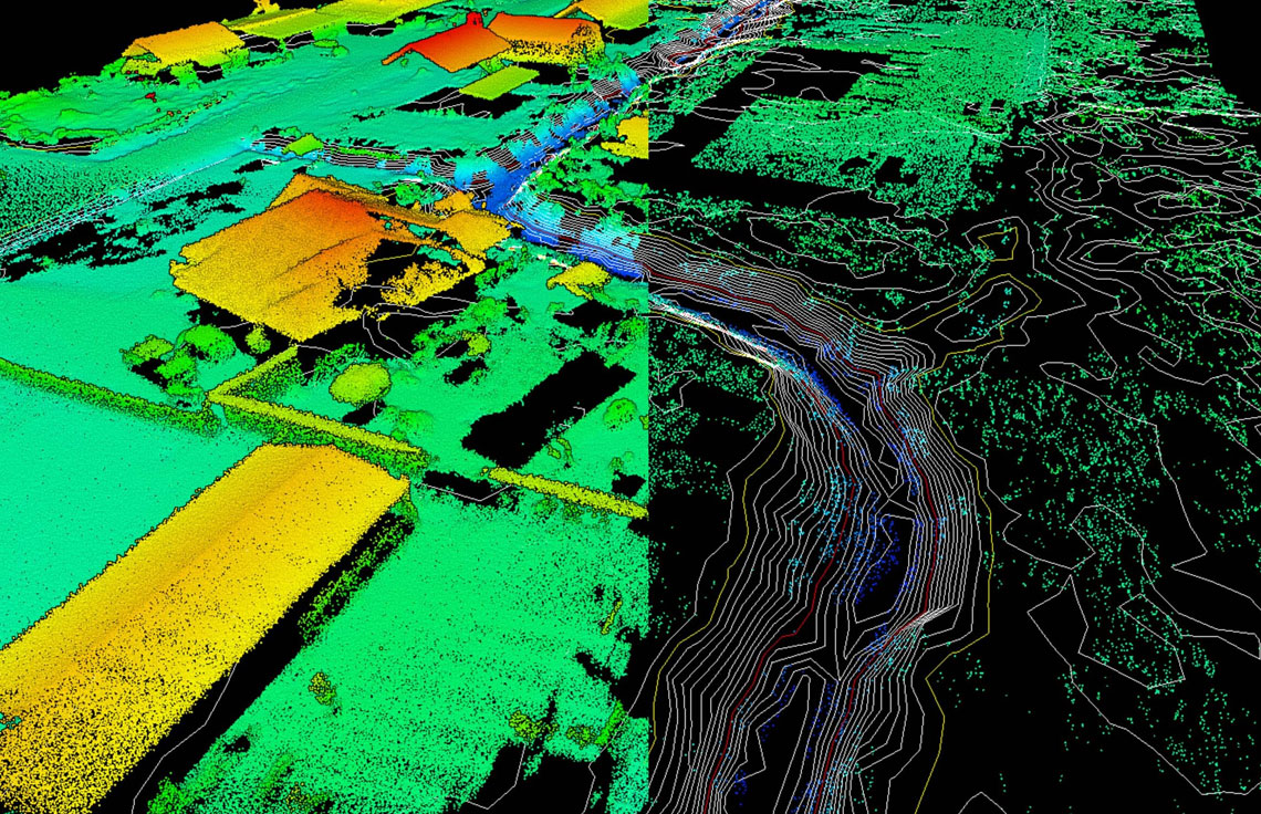
Airborne lidar has revolutionized area-wide 3D data acquisition of topography, bathymetry, vegetation, buildings and infrastructure. The laser scanner is attached to an aircraft, helicopter or UAV and creates a 3-D point cloud model of the landscape.
Acedata Technologies offers LiDAR data processing, Mapping, and Feature extraction services with proven methodologies and deep expertise in working with high-resolution imagery and LiDAR datasets. We enable customers to minimize the need for site visits, saving time and money while mitigating safety risks.
OFFERINGS
Let’s get started
Contact us today to discuss the most advanced and efficient solutions for your next project.