UAV/Drone Mapping
New age LiDAR and Photogrammetry
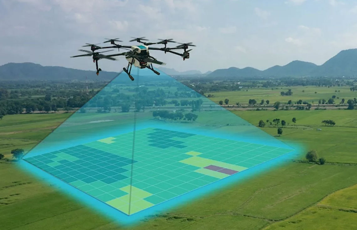
A UAV survey refers to the use of a drone, or unmanned aerial vehicle (UAV), to capture aerial data with downward-facing sensors, such as RGB or multispectral. An aerial survey using an unmanned aerial vehicle (UAV) such as a drone can provide a fast and efficient method of capturing data over large areas in a short amount of time. This is a great option for large route or topographic surveys, volume and cut/fill surveys on large construction or mining sites as well as for urban planning and flood modelling.
Acedata Technologies adopted and has been providing Unmanned Aerial Vehicle (UAV) technology since its introduction to the commercial market. We always envisioned it as an advanced tool to support all of our aerial mapping projects.
OFFERINGS
Let’s get started
Contact us today to discuss the most advanced and efficient solutions for your next project.